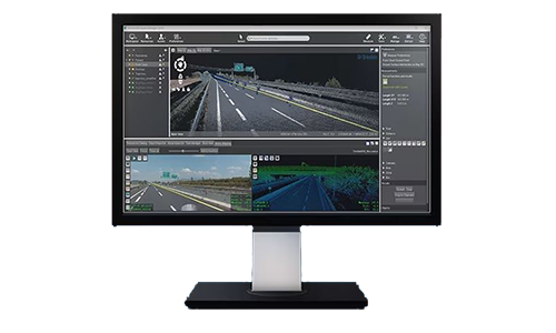
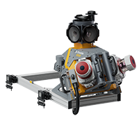
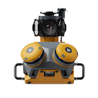
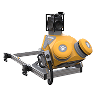
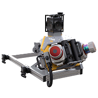
The solutions we offer include vehicle-mounted systems that integrate advanced geo-referencing technologies, high-speed laser scanning, and high-resolution imaging sensors to capture vast amounts of spatial data.
These systems, such as the Trimble MX90, MX60, MX50, and MX9, are designed for various applications, including large-scale mapping, asset management, and infrastructure scanning. These solutions reduce data collection time and improve safety by minimizing the need for field crews to work in hazardous environments.
Trimble’s software ecosystem, including Trimble Business Center (TBC) and Trimble MX Publisher, facilitates data processing and sharing, enabling integration with other geospatial data for comprehensive project workflows. These systems support rapid, efficient data collection, converting it into actionable 3D models and deliverables for diverse industries.